
Hiking Pekoe Trail Stage 16: From Ella’s Buzz to Demodara’s Railway Wonders
If you’re looking for a hike in Sri Lanka’s central highlands that serves up iconic engineering marvels, lush tea estates, and quiet village life without leaving you completely exhausted, Stage 16 of the Pekoe Trail is absolute magic.
Spanning just under 9 kilometers from the lively backpacker hub of Ella to the historic railway loop in Demodara, this trail feels less like an intense trek and more like a gentle journey through the soul of Sri Lanka’s hill country.
Here’s my personal account of walking Stage 16—and everything you need to know to hit the trail yourself!
📊 Fast Facts & Trail Stats
Before lacing up your boots, here is the essential breakdown of what to expect on this leg:
Distance: 5.43 miles / 8.74 km
Trail Type: One-way (Point-to-Point)
Difficulty: Easy
Time Taken: Approx. 2 hours 30 minutes (at a leisurely, photo-friendly pace)
Elevation Gain: 1,289 ft / 393 m
Elevation Loss: 1,719 ft / 524 m
Max Elevation: 3,497 ft / 1,066 m
Min Elevation: 2,933 ft / 894 m
The Journey Begins: Ella Railway Station to Ella Town
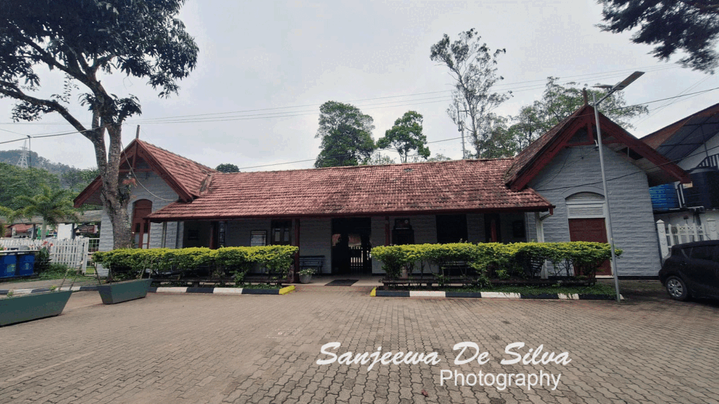
My journey started early in the morning at Ella Railway Station. Even as one of the most famous tourist stops in Sri Lanka, the station holds a quiet, old-world charm. Trains rumble in and out slowly, and the crisp hill air sets the perfect mood for the day ahead.
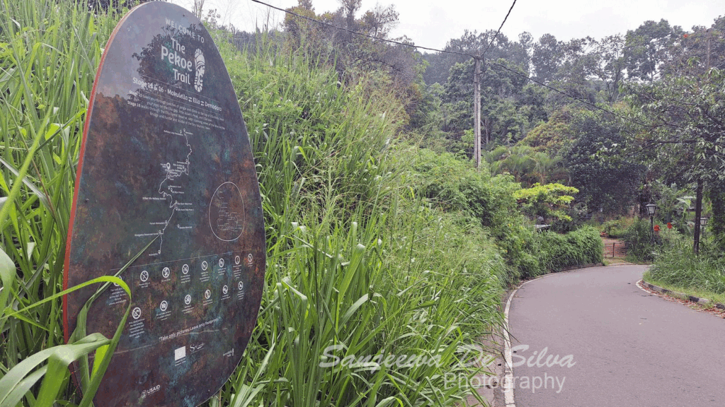
Just outside, I stopped by the official Pekoe Trail sign board. Seeing Stage 16 mapped out next to its neighboring stages brought a wave of excitement—it was time to get moving!
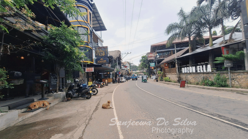
Leaving the station behind, I walked straight into Ella Town. It’s a vibrant, colorful place packed with trendy cafés and local eateries. I grabbed a quick coffee, made a pitstop at the local public facilities, and mentally prepped for the path ahead.
💡 Hiker’s Tip: Ella town is your last major spot for a proper café style fuel-up or washroom stop before hitting the countryside, so make the most of it!
Off the Tarmac: Pine Forests & The Nine Arches Bridge
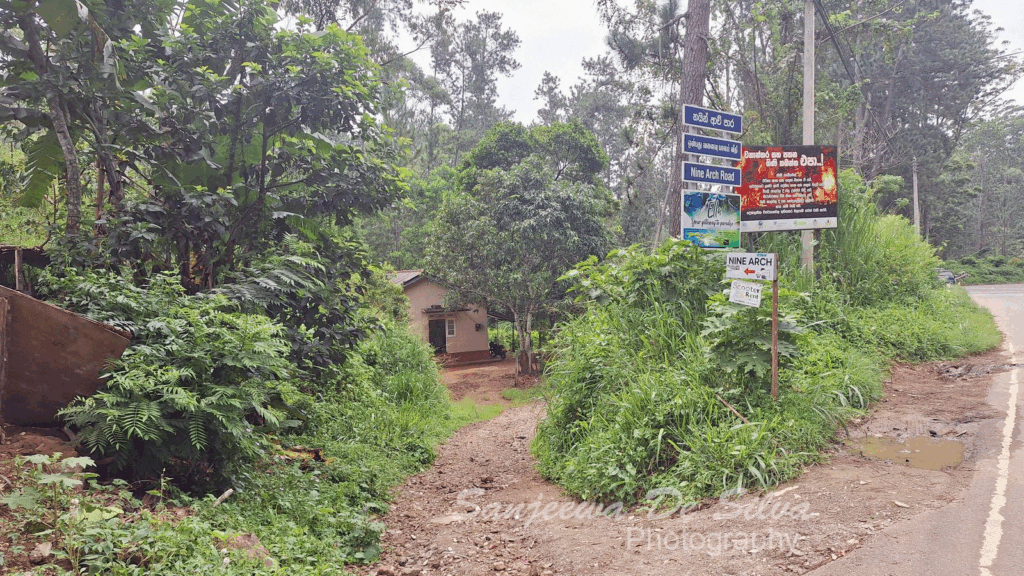
Following the trail markers, I turned left along Passara Road. You have to keep your wits about you here—the road is narrow and shared with tuk-tuks, scooters, and local buses. Luckily, it wasn’t long before the trail veered off the asphalt and into tranquility.
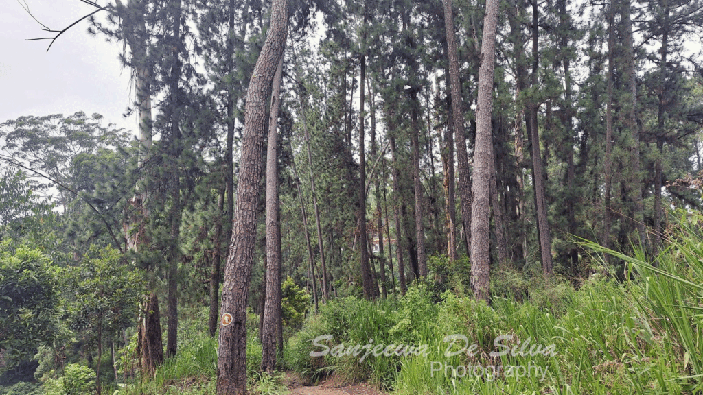
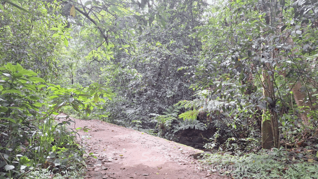
Turning left onto the Nine Arches Bridge Path, the atmosphere shifted instantly. I found myself walking beneath a canopy of tall pine trees. The air became noticeably cooler, the ground soft beneath my boots with a carpet of dry pine needles. Crossing a small, clear stream, the soothing sound of rushing water replaced the hum of town traffic.
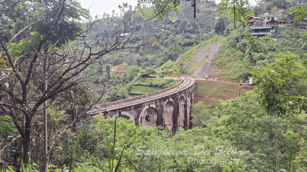
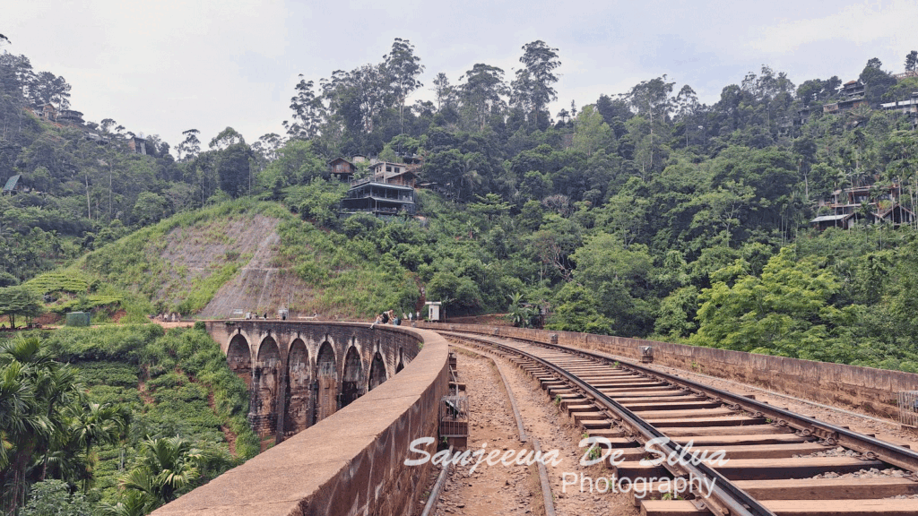
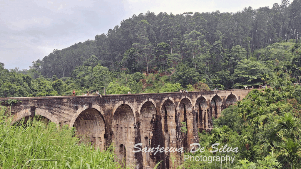
And then, through the trees, it revealed itself: the Nine Arches Bridge Viewpoint.
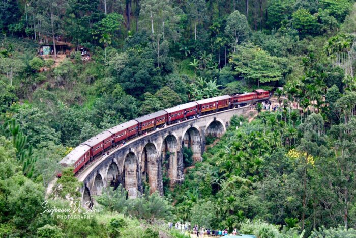
Standing there looking down into the deep, jungle-framed valley, the bridge takes your breath away. Built during the British colonial era entirely of stone, brick, and cement—without a single piece of steel—it looks like something straight out of a fantasy novel. I was lucky enough to time it just right to see a colorful train slowly snake across the bridge, its passengers waving to the onlookers gathered around the hills.
Tracks, Steps, and Village Warmth
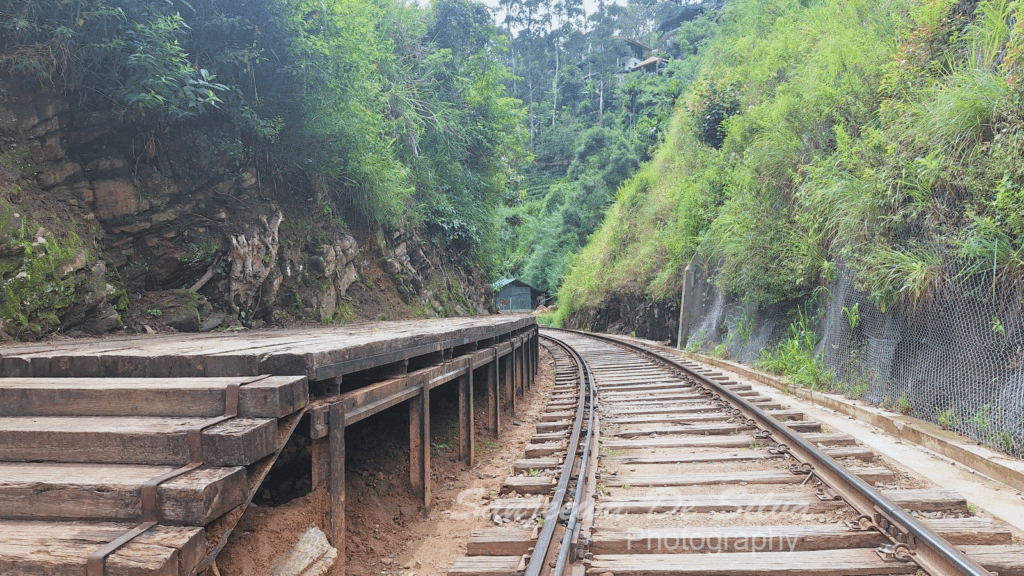
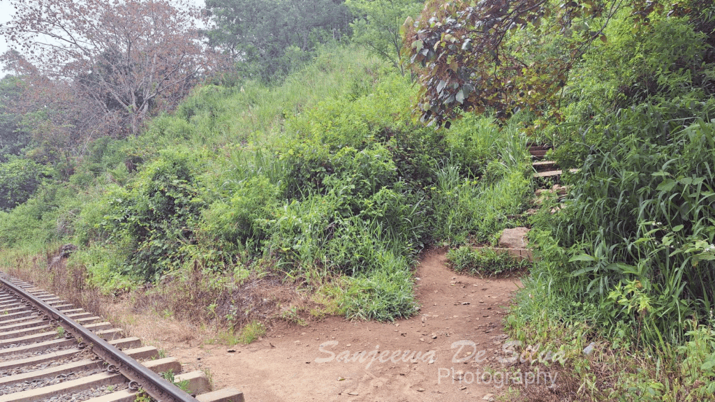
After taking in the view, I walked down to the tracks and enjoyed a brief walk along the railway line. Walking on sleeper tracks always carries a fun sense of adventure, but you need to stay alert and watch your step on the uneven ground.
Leaving the steel tracks behind, I took a set of steps climbing up away from the rails, leading onto a concrete village road. Tuk-tuks occasionally rumbled by, but soon, another left turn guided me onto a much quieter, peaceful path.
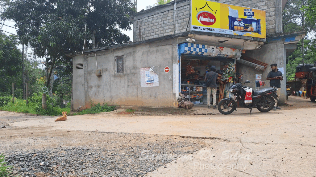
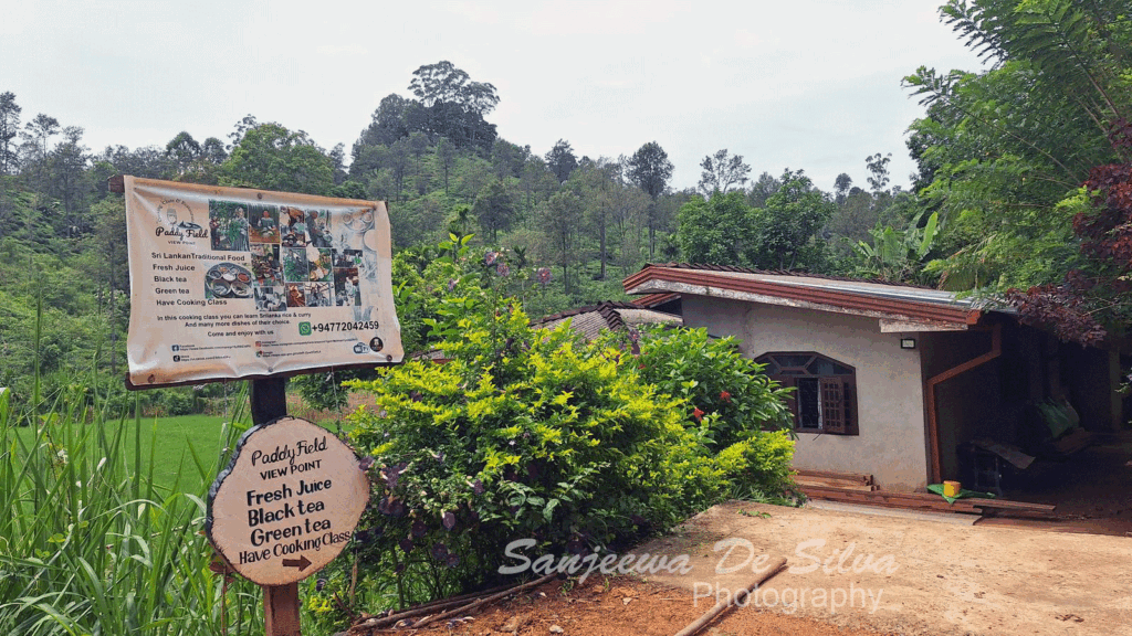
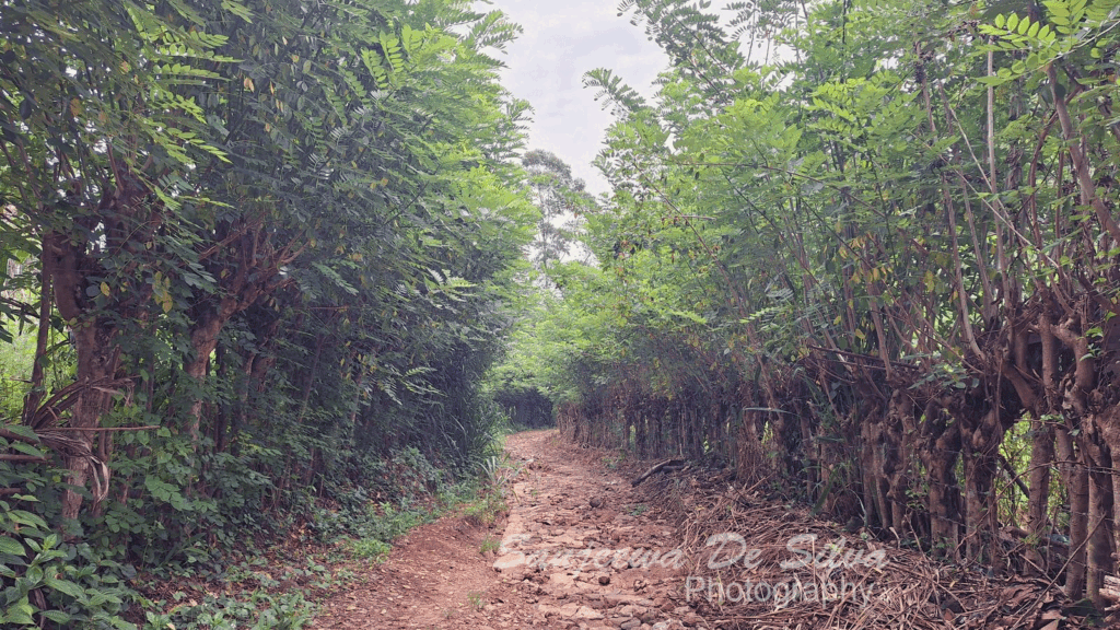
This stretch showcases authentic rural life. I passed local homes flanked by Gliricidia trees—often grown to shade local crops and support climbing plants.
Along the way, a local family had set up a small refreshment stop outside their home. I stopped for a warm, fresh cup of tea and a friendly chat. The genuine hospitality of the people living along the Pekoe Trail is truly one of its greatest highlights.
Through the Tea Gardens & Scenic Overlooks
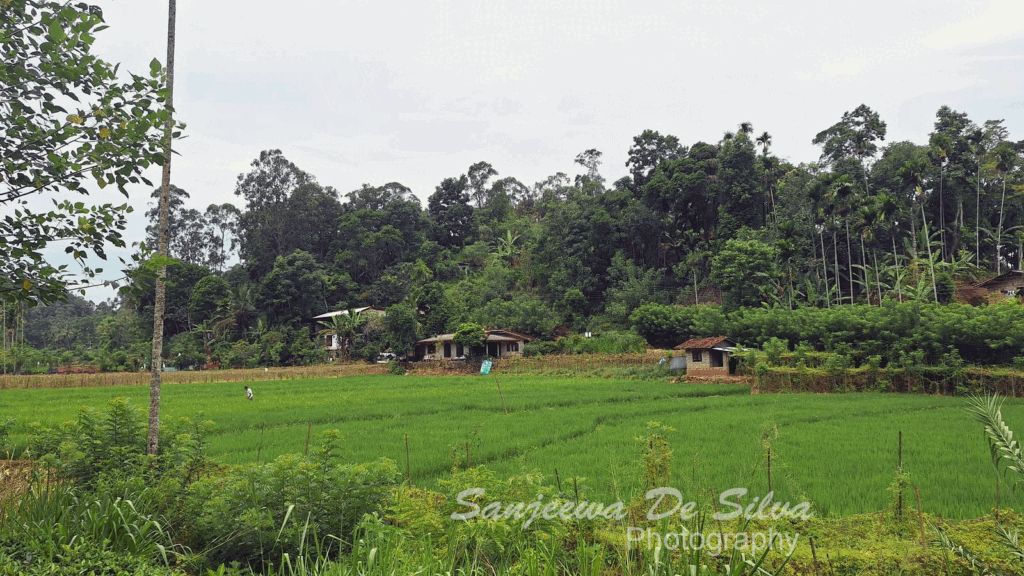
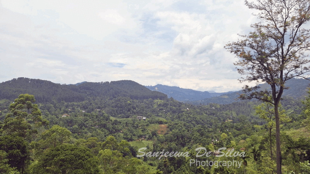
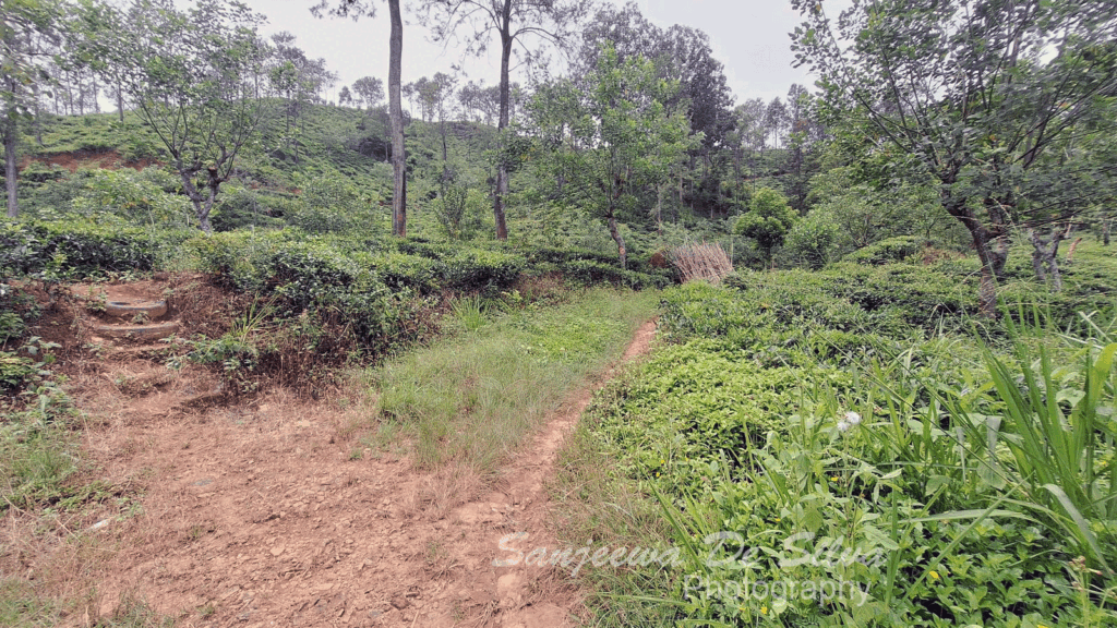
From the village, the path opened up into proper tea plantation territory. Neatly manicured rows of vibrant green tea bushes stretched out across the slopes.
🌧️ Watch Out: If you’re hiking on a damp or rainy morning, keep an eye on your ankles through the tea bushes—this is classic leech territory!
As I walked deeper into the estate, the views just kept getting better:
Paddy Field Viewpoint: A lovely vista overlooking emerald-green rice paddies and small vegetable plots tucked into the valley.
Mahamewna Temple View: In the distance, the white stupa of the Kumbalwela Mahamewna Buddhist Temple stood out serenely against the blue skyline.
Distant Nine Arches View: A rare, second perspective of the Nine Arches Bridge from high above the hills.
Buddhist Shrine: A small, humble shrine nestled by the trail, adorned with fresh blossoms.
Navigating the Intersections & The Tea Shed
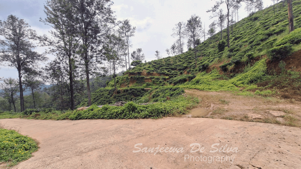
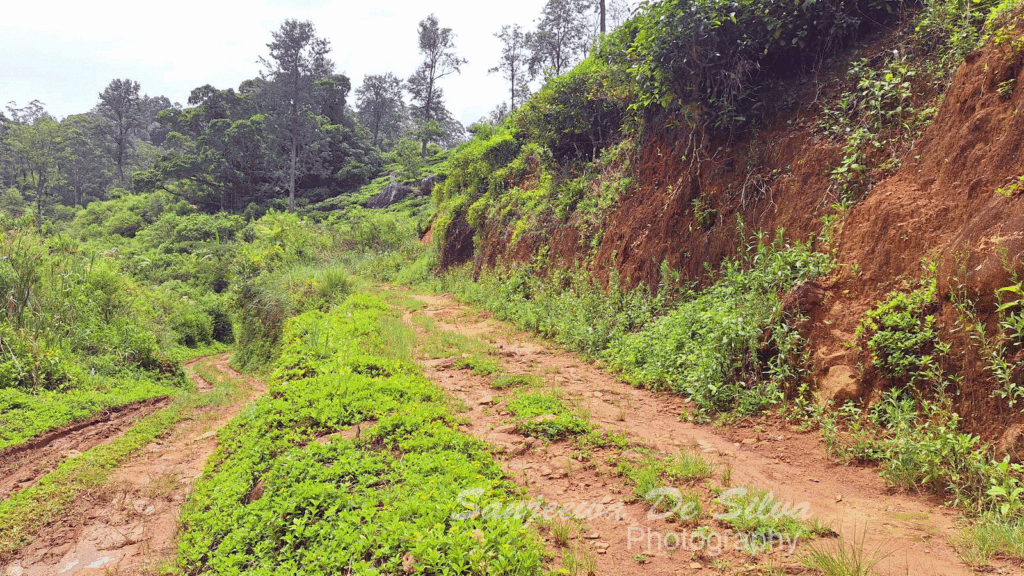
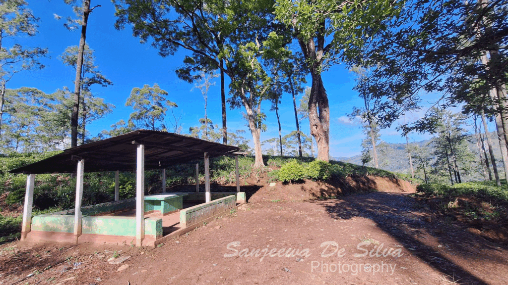
The trail presents a few forks along this section:
The Shortcut Option: You’ll hit an intersection where you can either continue straight through the tea estate or take a concrete shortcut that saves about 1.5 km. (I opted to stay on the main scenic trail!).
The Upper Path: At the next junction, the trail veers right and uphill. It’s quieter and offers breathtaking vistas, though it can get a bit muddy after rain.
Eventually, I arrived at a small tea shed. This is where estate workers bring their heavy sacks of freshly plucked leaves to be weighed at the end of a shift. It was quiet when I passed, making it a great, shady spot to pause for water.
Giant Bees, Hidden Lakes, and Engineering Feats
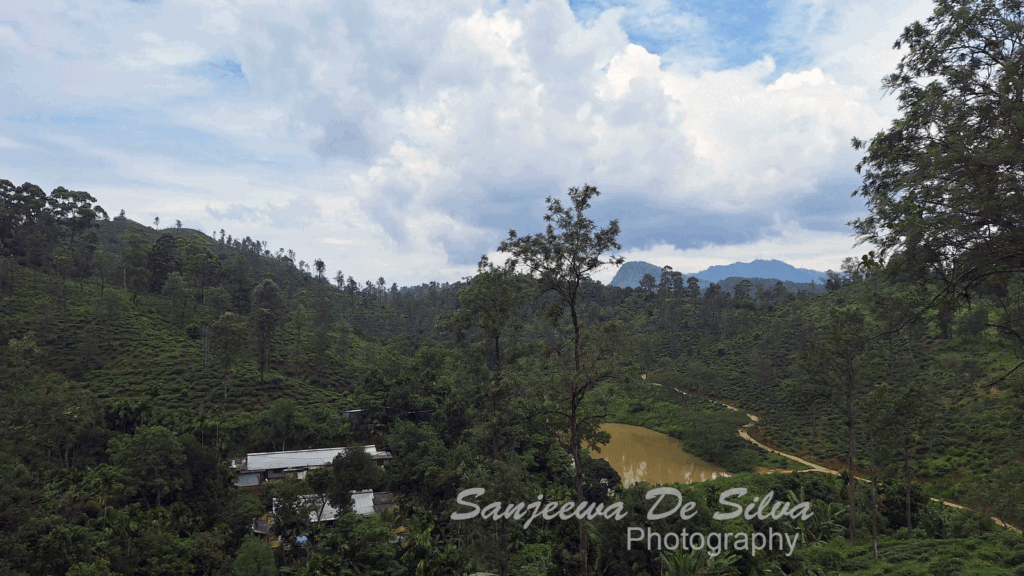
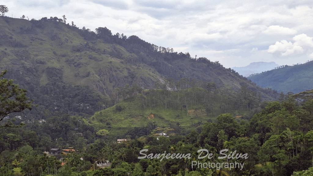
Continuing along the dirt path, I passed a massive Rain Tree with huge, dark giant honey bee nests hanging silently from its high branches. As long as you walk quietly and leave them alone, they stay completely peaceful!
Shortly after, I hit the Village Lake Viewpoint. Looking out, I could see the iconic silhouette of Ella Rock off in the distance, a quiet estate village below, and a small man-made lake used by local farmers to irrigate their crops during dry spells.
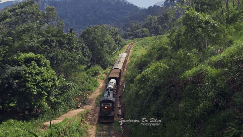
Then came the grand finale of views: the Demodara Railway Loop Viewpoint.
From here, you get a bird’s-eye view of one of the world’s most brilliant feats of railway engineering. The track wraps around a central hill, loops completely beneath itself through a tunnel, and emerges at the station below. Sitting above it, looking out over Demodara town and the historic Demodara Tea Factory, felt like the ultimate reward for the day’s walk.
The Finish Line: Demodara Railway Station
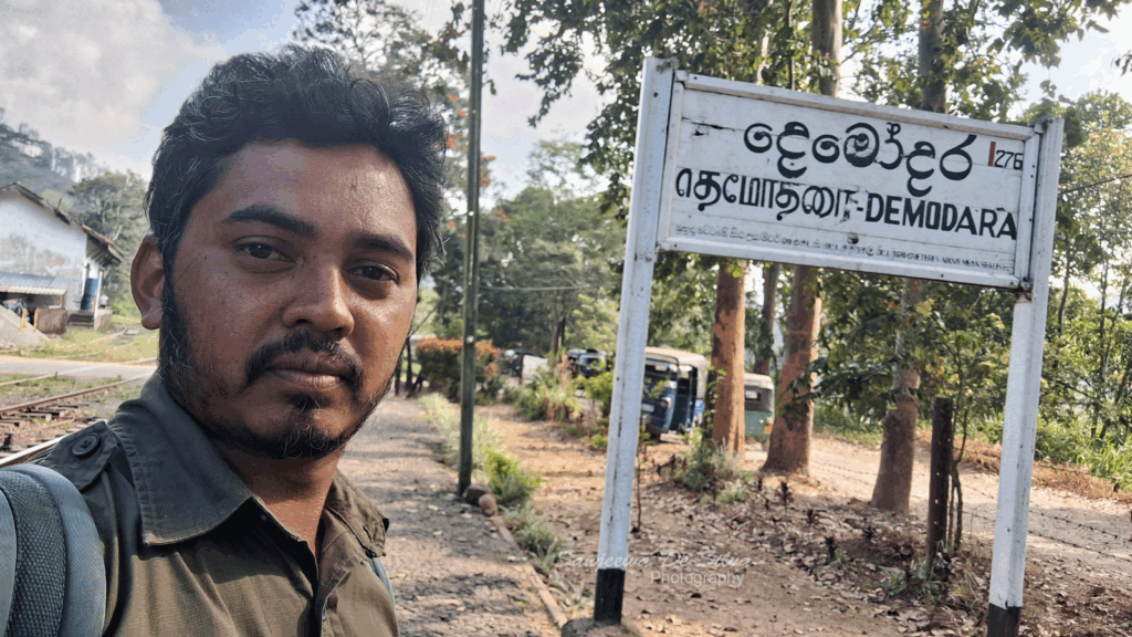
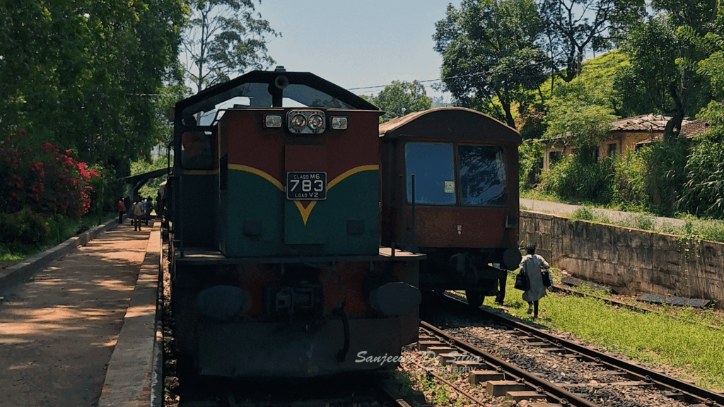
The trail gently wound its way down into town, bringing me to the end of Stage 16: Demodara Railway Station.
Unlike the bustling tourist hub of Ella, Demodara Station is a peaceful, nostalgic step back in time. Built in the early 1920s, this station is world-famous for its ingenious “Spiral” or “Loop” design. Because the elevation drop around the hills was too steep for trains to descend safely, engineers designed the track to circle around a mountain and pass through a tunnel directly under the station platform itself!
With its black-and-white wooden trim, manicured gardens, vintage signaling equipment, and quiet atmosphere, sitting at the platform in Demodara was the absolute perfect way to reflect on an unforgettable 9-kilometer walk.
Final Thoughts
Pekoe Trail Stage 16 is a absolute gem. It blends the lively energy of Ella, the famous architectural beauty of the Nine Arches Bridge, the solitude of pine forests, and the deep-rooted heritage of Sri Lanka’s tea country into a single, highly accessible half-day hike.
Whether you’re a seasoned trekker or just looking for a beautiful morning walk, this stage deserves a top spot on your Sri Lanka itinerary!